The 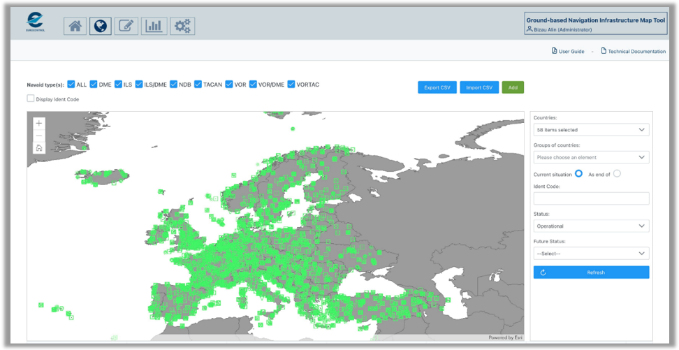 Ground-based Navigation Infrastructure (GNI) Map Tool is an web-based application which presents the current status and the evolution plans for the NAVAIDS infrastructure in Europe. The information related to the various ground-based navigation systems (i.e. ILS, VOR, DME, TACAN, NDB) is displayed in both a map view and in a series of different tabular and graphical layouts.
The database of operational facilities is updated every AIRAC cycle based on the information published in the European AIS Database (EAD). In addition, EUROCONTROL inserts the planning information included in the PBN Transition Plans or made available by the Air Navigation Service Providers through other means. Nominated ANSP representatives also have the ability to propose updates to the tool through a dedicated interface, to correct inaccurate information or update the planned dates for commissioning, decommissioning, replacement or relocation of Navaids.
The tool has been designed to facilitate coordination between neighbouring ANSPs and stakeholders involved in the PBN implementation process, and also to provide a network perspective on the future evolution of the navigation infrastructure with the overall aim of developing an efficient, effective and integrated Minimum Operational Network (MON).
Access to the GNI is free for all users with an OneSky Online account. A request to the GNI administrator through the OneSky portal will be followed by access to the application within 48 hours.
Further question on GNI can be address to DEMETER@eurocontrol.int.